Perivale: Horsenden Lane South
Introduction
The photograph on this page of Perivale: Horsenden Lane South by Stefan Czapski as part of the Geograph project.
The Geograph project started in 2005 with the aim of publishing, organising and preserving representative images for every square kilometre of Great Britain, Ireland and the Isle of Man.

There are currently over 7.5m images from over 14,400 individuals and you can help contribute to the project by visiting https://www.geograph.org.uk
Perivale: Horsenden Lane South
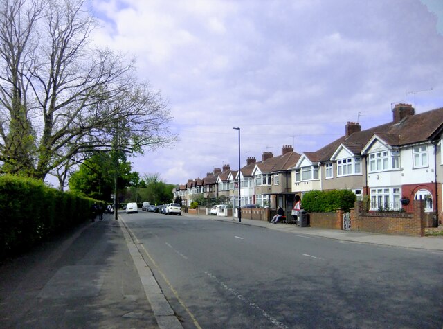
Image: © Stefan Czapski Taken: 24 Apr 2022
With between-the-wars housing that is typical of the wider area. The view is north towards Perivale station, and - by way of a narrow bridge across the canal - Horsenden Hill.
Images are licensed for reuse under creativecommons.org/licenses/by-sa/2.0
Image Location
Latitude
51.536179
Longitude
-0.324288