Gate at the edge of a playing field, North Bierley
Introduction
The photograph on this page of Gate at the edge of a playing field, North Bierley by Humphrey Bolton as part of the Geograph project.
The Geograph project started in 2005 with the aim of publishing, organising and preserving representative images for every square kilometre of Great Britain, Ireland and the Isle of Man.

There are currently over 7.5m images from over 14,400 individuals and you can help contribute to the project by visiting https://www.geograph.org.uk
Gate at the edge of a playing field, North Bierley
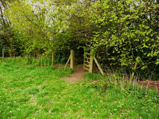
Image: © Humphrey Bolton Taken: 28 Apr 2022
This looked as if it might lead to a path along the strip of woodland along the edge of the playing field, but the path finishes at a camp fire site. Perhaps this fence was the original boundary of the playing field, but now a steel fence has been erected on the other side of the wooded strip, without a gate.
Images are licensed for reuse under creativecommons.org/licenses/by-sa/2.0
Image Location


Leaflet Map data © OpenStreetMap
Latitude
53.765523
Longitude
-1.738127