Bus shelter and remains of railway bridges, Roxburgh
Introduction
The photograph on this page of Bus shelter and remains of railway bridges, Roxburgh by Jim Barton as part of the Geograph project.
The Geograph project started in 2005 with the aim of publishing, organising and preserving representative images for every square kilometre of Great Britain, Ireland and the Isle of Man.

There are currently over 7.5m images from over 14,400 individuals and you can help contribute to the project by visiting https://www.geograph.org.uk
Bus shelter and remains of railway bridges, Roxburgh
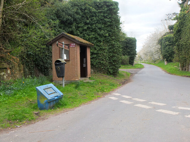
Image: © Jim Barton Taken: 27 Apr 2022
The bus stop is at the west end of the village, on the minor road to Nisbet. Covered in vegetation just past the stop are two bridge abutments for the former railways to Kelso and Jedburgh. Roxburgh station was at the junction, out of shot to the right.
Images are licensed for reuse under creativecommons.org/licenses/by-sa/2.0
Image Location
Latitude
55.567408
Longitude
-2.480752