Meadow Lane bridleway level crossing
Introduction
The photograph on this page of Meadow Lane bridleway level crossing by Alan Murray-Rust as part of the Geograph project.
The Geograph project started in 2005 with the aim of publishing, organising and preserving representative images for every square kilometre of Great Britain, Ireland and the Isle of Man.

There are currently over 7.5m images from over 14,400 individuals and you can help contribute to the project by visiting https://www.geograph.org.uk
Meadow Lane bridleway level crossing
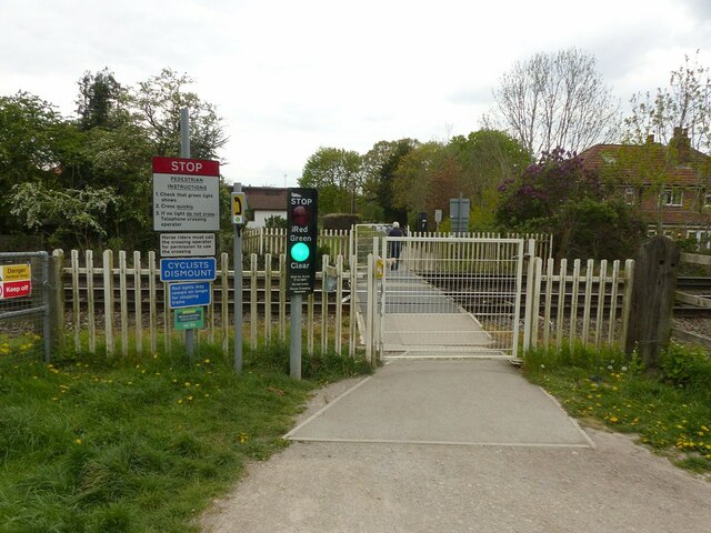
Image: © Alan Murray-Rust Taken: 26 Apr 2022
A heavily used route into Attenborough Nature Reserve, crossing the main line out of Nottingham. The lower of the blue notices informs that "Red lights may remain on longer for stopping trains", referring to the proximity of Attenborough Station.
Images are licensed for reuse under creativecommons.org/licenses/by-sa/2.0
Image Location
Latitude
52.913371
Longitude
-1.219689