Former chapel, Inkberrow
Introduction
The photograph on this page of Former chapel, Inkberrow by Chris Allen as part of the Geograph project.
The Geograph project started in 2005 with the aim of publishing, organising and preserving representative images for every square kilometre of Great Britain, Ireland and the Isle of Man.

There are currently over 7.5m images from over 14,400 individuals and you can help contribute to the project by visiting https://www.geograph.org.uk
Former chapel, Inkberrow
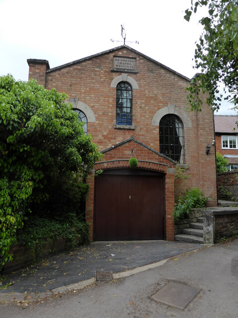
Image: © Chris Allen Taken: 27 May 2015
Now a dwelling. The stone proclaims it to be Bethesda Chapel 1861.
Images are licensed for reuse under creativecommons.org/licenses/by-sa/2.0
Image Location
Latitude
52.214364
Longitude
-1.980635