Pond, Leigh Mill House
Introduction
The photograph on this page of Pond, Leigh Mill House by Derek Harper as part of the Geograph project.
The Geograph project started in 2005 with the aim of publishing, organising and preserving representative images for every square kilometre of Great Britain, Ireland and the Isle of Man.

There are currently over 7.5m images from over 14,400 individuals and you can help contribute to the project by visiting https://www.geograph.org.uk
Pond, Leigh Mill House
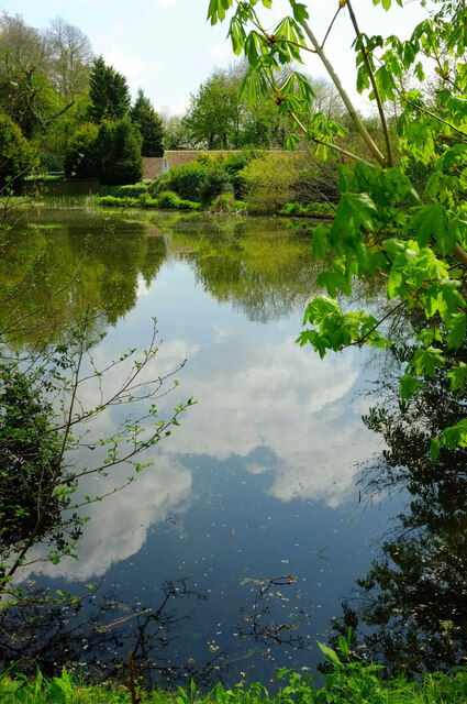
Image: © Derek Harper Taken: 25 Apr 2022
Also shown at Image], On the far side is some of the listed Leigh Mill House https://historicengland.org.uk/listing/the-list/list-entry/1377661?section=official-list-entry "Mill converted into house. C18 restored in C20".
Images are licensed for reuse under creativecommons.org/licenses/by-sa/2.0
Image Location
Latitude
51.240152
Longitude
-0.051691