Farm track southwards from Ifield Court Farm
Introduction
The photograph on this page of Farm track southwards from Ifield Court Farm by Robin Webster as part of the Geograph project.
The Geograph project started in 2005 with the aim of publishing, organising and preserving representative images for every square kilometre of Great Britain, Ireland and the Isle of Man.

There are currently over 7.5m images from over 14,400 individuals and you can help contribute to the project by visiting https://www.geograph.org.uk
Farm track southwards from Ifield Court Farm
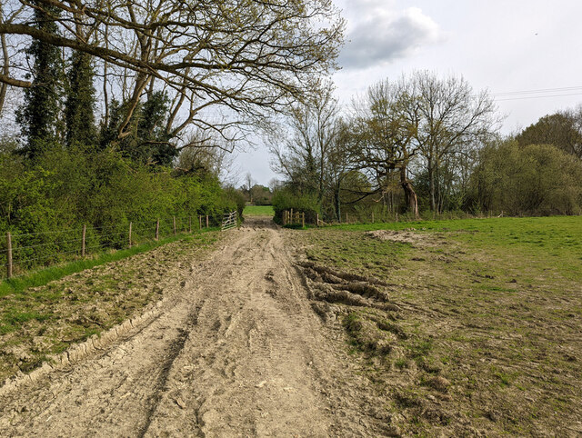
Image: © Robin Webster Taken: 18 Apr 2022
Also footpath 1512, on unsurfaced Weald Clay, a quagmire when wet, an ankle breaker when dry. The worst part is through the gateway, where the River Mole is crossed.
Images are licensed for reuse under creativecommons.org/licenses/by-sa/2.0
Image Location
Latitude
51.128111
Longitude
-0.221765