The Tarras Water
Introduction
The photograph on this page of The Tarras Water by M J Richardson as part of the Geograph project.
The Geograph project started in 2005 with the aim of publishing, organising and preserving representative images for every square kilometre of Great Britain, Ireland and the Isle of Man.

There are currently over 7.5m images from over 14,400 individuals and you can help contribute to the project by visiting https://www.geograph.org.uk
The Tarras Water
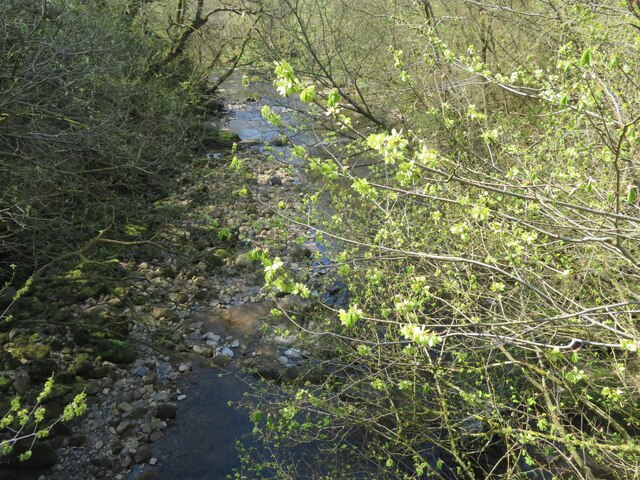
Image: © M J Richardson Taken: 24 Apr 2022
Looking downstream from the B6318 bridge over, with about 800 m to go before it joins the River Esk. The light green on the nearby twigs are fruits of an overhanging Elm.
Images are licensed for reuse under creativecommons.org/licenses/by-sa/2.0
Image Location


Leaflet Map data © OpenStreetMap
Latitude
55.121119
Longitude
-2.972272