Glendivan farm at Brieryshaw
Introduction
The photograph on this page of Glendivan farm at Brieryshaw by M J Richardson as part of the Geograph project.
The Geograph project started in 2005 with the aim of publishing, organising and preserving representative images for every square kilometre of Great Britain, Ireland and the Isle of Man.

There are currently over 7.5m images from over 14,400 individuals and you can help contribute to the project by visiting https://www.geograph.org.uk
Glendivan farm at Brieryshaw
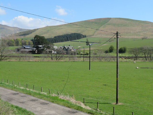
Image: © M J Richardson Taken: 24 Apr 2022
Brittleston Height is beyond, and the trees across the centre of the image, in a dip beyond the nearest field, mark the course of the Ewes Water.
Images are licensed for reuse under creativecommons.org/licenses/by-sa/2.0
Image Location


Leaflet Map data © OpenStreetMap
Latitude
55.20798
Longitude
-2.98806