Old Boundary Marker on the A684 Stokesley Road
Introduction
The photograph on this page of Old Boundary Marker on the A684 Stokesley Road by H Jones as part of the Geograph project.
The Geograph project started in 2005 with the aim of publishing, organising and preserving representative images for every square kilometre of Great Britain, Ireland and the Isle of Man.

There are currently over 7.5m images from over 14,400 individuals and you can help contribute to the project by visiting https://www.geograph.org.uk
Old Boundary Marker on the A684 Stokesley Road
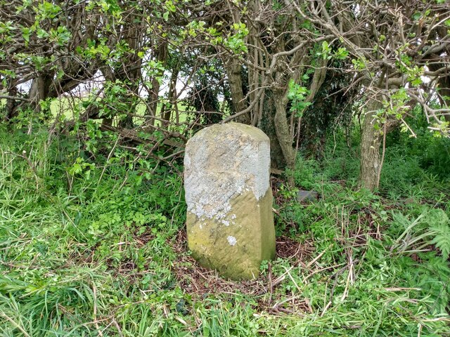
Image: © H Jones Taken: 25 Apr 2022
Parish Boundary Marker on the southeast side of the A684 Stokesley Road near Cusworth Cottages. BS is shown on the 6" OS map surveyed in 1854, when this was on the boundary of Northallerton parish and Brompton chapelry. Both are now parishes. The lack of an inscription makes it hard to be definite about its function. Milestone Society National ID: YN_NORBRO01pb
Images are licensed for reuse under creativecommons.org/licenses/by-sa/2.0
Image Location
Latitude
54.354031
Longitude
-1.424618