Ifield Road, West Brompton
Introduction
The photograph on this page of Ifield Road, West Brompton by Stephen McKay as part of the Geograph project.
The Geograph project started in 2005 with the aim of publishing, organising and preserving representative images for every square kilometre of Great Britain, Ireland and the Isle of Man.

There are currently over 7.5m images from over 14,400 individuals and you can help contribute to the project by visiting https://www.geograph.org.uk
Ifield Road, West Brompton
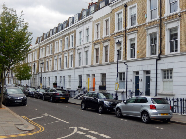
Image: © Stephen McKay Taken: 22 Apr 2022
These houses were built around 1870 and, hard though it is to believe now, quickly became overcrowded and an area of social deprivation (possibly because of its proximity to Brompton Cemetery). This resulted in a serious outbreak of smallpox in 1881 that was pretty much confined to this street. The Ifield name comes from Ifield in Sussex (it has been suggested that this was because the builders' solicitor's brother was vicar there, although this does seem somewhat tenuous). The street was originally called Honey Lane.
Images are licensed for reuse under creativecommons.org/licenses/by-sa/2.0
Image Location
Latitude
51.483871
Longitude
-0.187077