Allotment plots, Stonehouse
Introduction
The photograph on this page of Allotment plots, Stonehouse by Jaggery as part of the Geograph project.
The Geograph project started in 2005 with the aim of publishing, organising and preserving representative images for every square kilometre of Great Britain, Ireland and the Isle of Man.

There are currently over 7.5m images from over 14,400 individuals and you can help contribute to the project by visiting https://www.geograph.org.uk
Allotment plots, Stonehouse
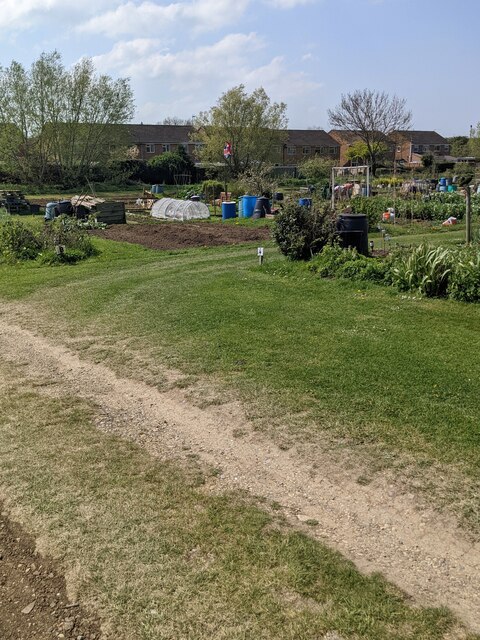
Image: © Jaggery Taken: 24 Apr 2022
A few of many plots in allotments located at the northern edge of Stonehouse. The distant houses are in the road named Sydney in the Little Australia area of Stonehouse.
Images are licensed for reuse under creativecommons.org/licenses/by-sa/2.0
Image Location
Latitude
51.756571
Longitude
-2.285649