View Over Liverton Mine
Introduction
The photograph on this page of View Over Liverton Mine by Mick Garratt as part of the Geograph project.
The Geograph project started in 2005 with the aim of publishing, organising and preserving representative images for every square kilometre of Great Britain, Ireland and the Isle of Man.

There are currently over 7.5m images from over 14,400 individuals and you can help contribute to the project by visiting https://www.geograph.org.uk
View Over Liverton Mine
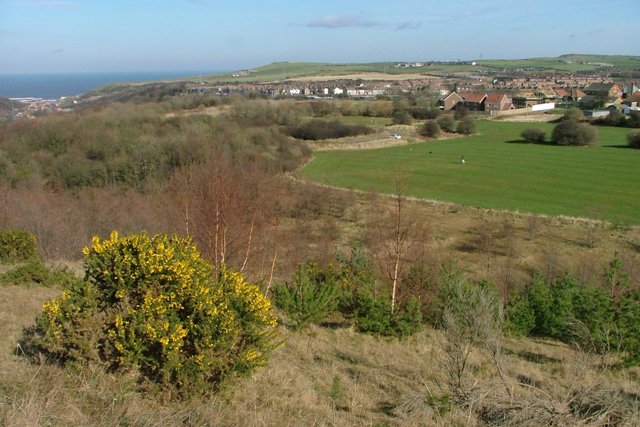
Image: © Mick Garratt Taken: 5 Mar 2008
From the top of the now landscaped shale heap of the former ironstone mine which operated from 1863 to 1923. Just one mine building now remains, a former workshop, just to the left of the new houses and hidden by trees see Image
Images are licensed for reuse under creativecommons.org/licenses/by-sa/2.0
Image Location
Latitude
54.551562
Longitude
-0.904276