Houses at junction in Springfield
Introduction
The photograph on this page of Houses at junction in Springfield by Roger Templeman as part of the Geograph project.
The Geograph project started in 2005 with the aim of publishing, organising and preserving representative images for every square kilometre of Great Britain, Ireland and the Isle of Man.

There are currently over 7.5m images from over 14,400 individuals and you can help contribute to the project by visiting https://www.geograph.org.uk
Houses at junction in Springfield
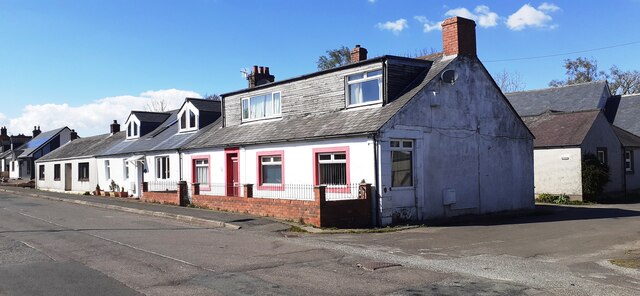
Image: © Roger Templeman Taken: 23 Apr 2022
The nearest house is a former post office which Ordnance Survey records indicate had a benchmark levelled at 35.759m above Newlyn Datum which was verified on the near corner in 1974
Images are licensed for reuse under creativecommons.org/licenses/by-sa/2.0
Image Location
Latitude
55.0044
Longitude
-3.056688