Bridleway by The Spinney
Introduction
The photograph on this page of Bridleway by The Spinney by Neil Owen as part of the Geograph project.
The Geograph project started in 2005 with the aim of publishing, organising and preserving representative images for every square kilometre of Great Britain, Ireland and the Isle of Man.

There are currently over 7.5m images from over 14,400 individuals and you can help contribute to the project by visiting https://www.geograph.org.uk
Bridleway by The Spinney
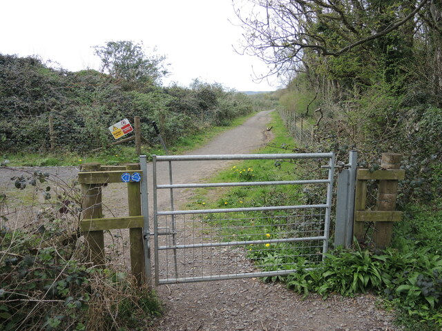
Image: © Neil Owen Taken: 18 Apr 2022
The track now runs along the east side of Stancombe quarry and has some sturdy fencing to prevent ingress.
Images are licensed for reuse under creativecommons.org/licenses/by-sa/2.0
Image Location
Latitude
51.403194
Longitude
-2.711841