Chester-le-Street: on Low Flatts Road
Introduction
The photograph on this page of Chester-le-Street: on Low Flatts Road by John Sutton as part of the Geograph project.
The Geograph project started in 2005 with the aim of publishing, organising and preserving representative images for every square kilometre of Great Britain, Ireland and the Isle of Man.

There are currently over 7.5m images from over 14,400 individuals and you can help contribute to the project by visiting https://www.geograph.org.uk
Chester-le-Street: on Low Flatts Road
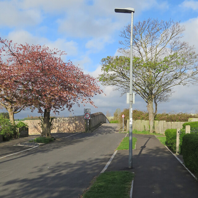
Image: © John Sutton Taken: 24 Apr 2022
The end of a residential street on the northern fringe of Chester-le-Street. The road ends here and becomes a footpath beyond the bridge over the East Coast Main Line.
Images are licensed for reuse under creativecommons.org/licenses/by-sa/2.0
Image Location
Latitude
54.870319
Longitude
-1.578007