Course of old railway line in former Barnbow Munitions Factory
Introduction
The photograph on this page of Course of old railway line in former Barnbow Munitions Factory by Nigel Thompson as part of the Geograph project.
The Geograph project started in 2005 with the aim of publishing, organising and preserving representative images for every square kilometre of Great Britain, Ireland and the Isle of Man.

There are currently over 7.5m images from over 14,400 individuals and you can help contribute to the project by visiting https://www.geograph.org.uk
Course of old railway line in former Barnbow Munitions Factory
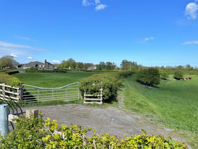
Image: © Nigel Thompson Taken: 22 Apr 2022
The hedgerow follows the course of the eastern loop line within the First National Shell Filling Factory (1915-18). It can be seen to the right of the map on http://www.barwickinelmethistoricalsociety.com/4746.html. There was an extensive internal railway system within the site.
Images are licensed for reuse under creativecommons.org/licenses/by-sa/2.0
Image Location
Latitude
53.803715
Longitude
-1.407638