Ruins of Under Brow
Introduction
The photograph on this page of Ruins of Under Brow by Chris Heaton as part of the Geograph project.
The Geograph project started in 2005 with the aim of publishing, organising and preserving representative images for every square kilometre of Great Britain, Ireland and the Isle of Man.

There are currently over 7.5m images from over 14,400 individuals and you can help contribute to the project by visiting https://www.geograph.org.uk
Ruins of Under Brow
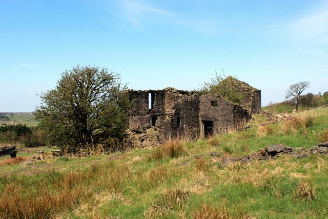
Image: © Chris Heaton Taken: 20 Apr 2022
Abandoned farm now fallen into ruin on Cribden Side
Images are licensed for reuse under creativecommons.org/licenses/by-sa/2.0
Image Location
Latitude
53.716775
Longitude
-2.31256