Holden Lane Uphill
Introduction
The photograph on this page of Holden Lane Uphill by Chris Heaton as part of the Geograph project.
The Geograph project started in 2005 with the aim of publishing, organising and preserving representative images for every square kilometre of Great Britain, Ireland and the Isle of Man.

There are currently over 7.5m images from over 14,400 individuals and you can help contribute to the project by visiting https://www.geograph.org.uk
Holden Lane Uphill
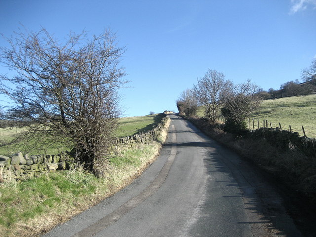
Image: © Chris Heaton Taken: 4 Mar 2008
Running east the lane ascends sharply after crossing Holden Beck en route from Silsden to East Morton.
Images are licensed for reuse under creativecommons.org/licenses/by-sa/2.0
Image Location


Leaflet Map data © OpenStreetMap
Latitude
53.903292
Longitude
-1.912145