New housing development site in Long Duckmanton
Introduction
The photograph on this page of New housing development site in Long Duckmanton by Bill Boaden as part of the Geograph project.
The Geograph project started in 2005 with the aim of publishing, organising and preserving representative images for every square kilometre of Great Britain, Ireland and the Isle of Man.

There are currently over 7.5m images from over 14,400 individuals and you can help contribute to the project by visiting https://www.geograph.org.uk
New housing development site in Long Duckmanton
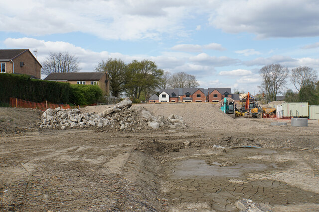
Image: © Bill Boaden Taken: 18 Apr 2022
Houses are appearing at the far end, near to St Peter & St Paul's Church.
Images are licensed for reuse under creativecommons.org/licenses/by-sa/2.0
Image Location
Latitude
53.236981
Longitude
-1.337877