Morley Manor
Introduction
The photograph on this page of Morley Manor by Stephen Craven as part of the Geograph project.
The Geograph project started in 2005 with the aim of publishing, organising and preserving representative images for every square kilometre of Great Britain, Ireland and the Isle of Man.

There are currently over 7.5m images from over 14,400 individuals and you can help contribute to the project by visiting https://www.geograph.org.uk
Morley Manor
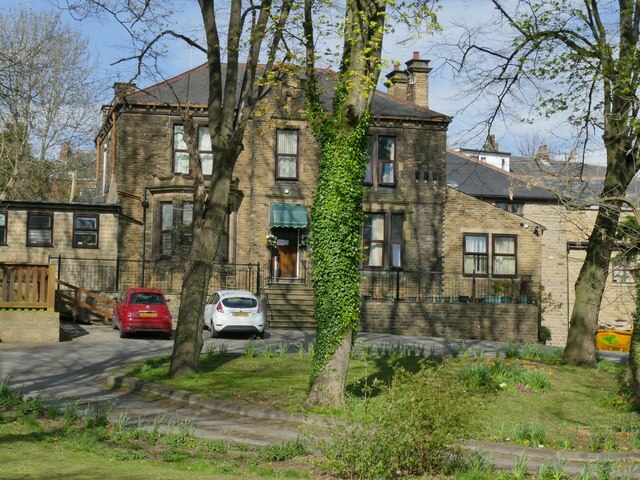
Image: © Stephen Craven Taken: 18 Apr 2022
The original Manor House of Morley was demolished in the 1930s; the name has been adopted by this residential care home that occupies what is probably a 19th century property.
Images are licensed for reuse under creativecommons.org/licenses/by-sa/2.0
Image Location
Latitude
53.749612
Longitude
-1.605841