Morley Hole
Introduction
The photograph on this page of Morley Hole by Stephen Craven as part of the Geograph project.
The Geograph project started in 2005 with the aim of publishing, organising and preserving representative images for every square kilometre of Great Britain, Ireland and the Isle of Man.

There are currently over 7.5m images from over 14,400 individuals and you can help contribute to the project by visiting https://www.geograph.org.uk
Morley Hole
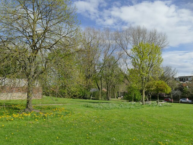
Image: © Stephen Craven Taken: 18 Apr 2022
Otherwise known as Morley Bottoms, this is an area that was cleared of slum housing in the 1930s and never rebuilt. It is now at least de-facto a public open space.
Images are licensed for reuse under creativecommons.org/licenses/by-sa/2.0
Image Location
Latitude
53.749525
Longitude
-1.606752