Upper Burnend
Introduction
The photograph on this page of Upper Burnend by Anne Burgess as part of the Geograph project.
The Geograph project started in 2005 with the aim of publishing, organising and preserving representative images for every square kilometre of Great Britain, Ireland and the Isle of Man.

There are currently over 7.5m images from over 14,400 individuals and you can help contribute to the project by visiting https://www.geograph.org.uk
Upper Burnend
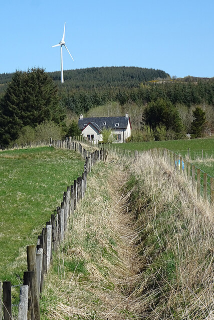
Image: © Anne Burgess Taken: 20 Apr 2022
The ditch is part of a complex of ditches that eventually become part of the Bowie Burn. The new house at Upper Burnend isn't yet on the maps.
Images are licensed for reuse under creativecommons.org/licenses/by-sa/2.0
Image Location
Latitude
57.590032
Longitude
-2.844859