West Lutton, Broom Farm
Introduction
The photograph on this page of West Lutton, Broom Farm by Mel Towler as part of the Geograph project.
The Geograph project started in 2005 with the aim of publishing, organising and preserving representative images for every square kilometre of Great Britain, Ireland and the Isle of Man.

There are currently over 7.5m images from over 14,400 individuals and you can help contribute to the project by visiting https://www.geograph.org.uk
West Lutton, Broom Farm
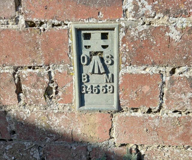
Image: © Mel Towler Taken: 18 Mar 2022
The OS Flush Bracket G4559 is embedded in to the roadside, gable end, farm building of Broom Farm. It is located bottom right hand corner.
Images are licensed for reuse under creativecommons.org/licenses/by-sa/2.0
Image Location
Latitude
54.125065
Longitude
-0.58258