Old Boundary Marker on the B4057 Kings Weston Road
Introduction
The photograph on this page of Old Boundary Marker on the B4057 Kings Weston Road by S Kosciow as part of the Geograph project.
The Geograph project started in 2005 with the aim of publishing, organising and preserving representative images for every square kilometre of Great Britain, Ireland and the Isle of Man.

There are currently over 7.5m images from over 14,400 individuals and you can help contribute to the project by visiting https://www.geograph.org.uk
Old Boundary Marker on the B4057 Kings Weston Road
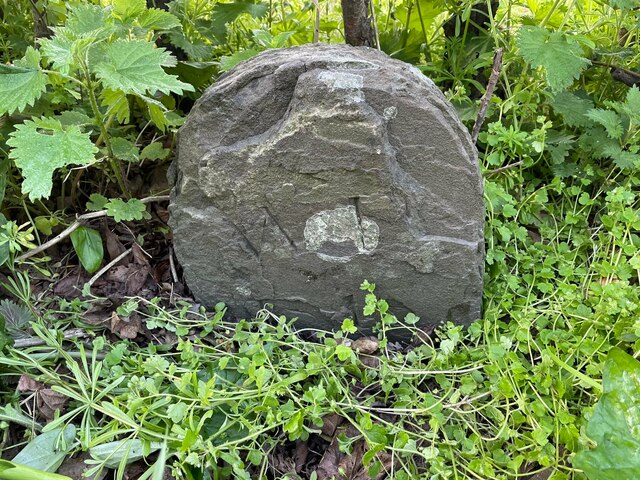
Image: © S Kosciow Taken: 19 Apr 2022
Parish Boundary Marker on the south side of the B4057 Kings Weston Road on the edge of the Blaise Castle Estate. On the 1881 25" OS map this is shown as a boundary stone marking the boundary of an area common to the parishes of Henbury and Westbury on Trym. By 1901 it was entirely in Henbury parish. Milestone Society National ID: GL_BRIS24pb
Images are licensed for reuse under creativecommons.org/licenses/by-sa/2.0
Image Location
Latitude
51.503485
Longitude
-2.643743