The Warsop Vale Hotel
Introduction
The photograph on this page of The Warsop Vale Hotel by Jonathan Clitheroe as part of the Geograph project.
The Geograph project started in 2005 with the aim of publishing, organising and preserving representative images for every square kilometre of Great Britain, Ireland and the Isle of Man.

There are currently over 7.5m images from over 14,400 individuals and you can help contribute to the project by visiting https://www.geograph.org.uk
The Warsop Vale Hotel
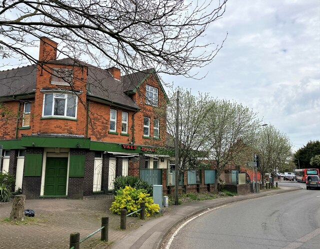
Image: © Jonathan Clitheroe Taken: 19 Apr 2022
Public House, known locally as 'The Swing'. The selection of late 70's- early 80's sign fonts on the pub's exterior walls is becoming a rarer sight these days. Also visible here is a local Stagecoach bus service winding its way through the village.
Images are licensed for reuse under creativecommons.org/licenses/by-sa/2.0
Image Location
Latitude
53.204559
Longitude
-1.182972