The road to Throwley Forstal
Introduction
The photograph on this page of The road to Throwley Forstal by pam fray as part of the Geograph project.
The Geograph project started in 2005 with the aim of publishing, organising and preserving representative images for every square kilometre of Great Britain, Ireland and the Isle of Man.

There are currently over 7.5m images from over 14,400 individuals and you can help contribute to the project by visiting https://www.geograph.org.uk
The road to Throwley Forstal
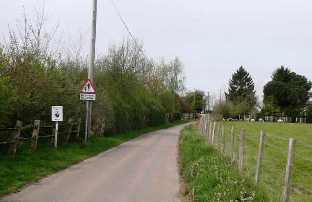
Image: © pam fray Taken: 18 Apr 2022
Throwley lies on top of the Kent North Downs and consists of mainly arable fields and woodland copses covering just over 5 square miles. The population is scattered across a number of hamlets, the largest of which is Throwley Forstal.
Images are licensed for reuse under creativecommons.org/licenses/by-sa/2.0
Image Location


Leaflet Map data © OpenStreetMap
Latitude
51.253119
Longitude
0.850889