Dry mud on the C5S (Aberdeenshire) Road
Introduction
The photograph on this page of Dry mud on the C5S (Aberdeenshire) Road by Scott Cormie as part of the Geograph project.
The Geograph project started in 2005 with the aim of publishing, organising and preserving representative images for every square kilometre of Great Britain, Ireland and the Isle of Man.

There are currently over 7.5m images from over 14,400 individuals and you can help contribute to the project by visiting https://www.geograph.org.uk
Dry mud on the C5S (Aberdeenshire) Road
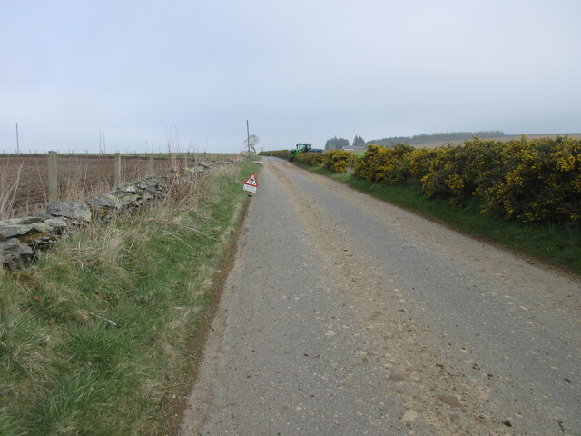
Image: © Scott Cormie Taken: 16 Apr 2022
Mud on the road with farming taking place near Claymires to the north of Turriff.
Images are licensed for reuse under creativecommons.org/licenses/by-sa/2.0
Image Location
Latitude
57.551485
Longitude
-2.466501