Church Lane, Burstow
Introduction
The photograph on this page of Church Lane, Burstow by Robin Webster as part of the Geograph project.
The Geograph project started in 2005 with the aim of publishing, organising and preserving representative images for every square kilometre of Great Britain, Ireland and the Isle of Man.

There are currently over 7.5m images from over 14,400 individuals and you can help contribute to the project by visiting https://www.geograph.org.uk
Church Lane, Burstow
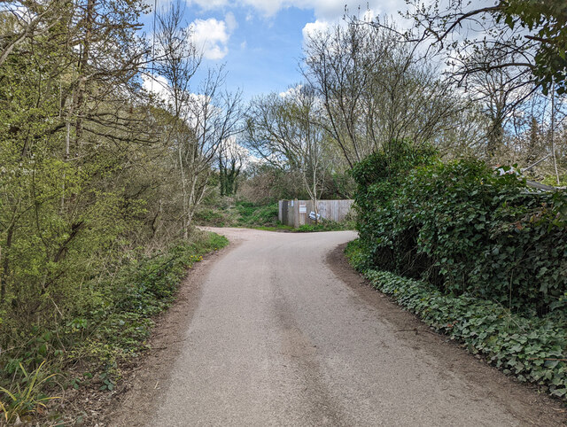
Image: © Robin Webster Taken: 15 Apr 2022
Publicly, only a bridleway - Burstow 520, but it provides vehicle access to several properties. Round the corner to the left it degenerates into a track. Right is the entrance to commercial premises.
Images are licensed for reuse under creativecommons.org/licenses/by-sa/2.0
Image Location
Latitude
51.154755
Longitude
-0.131081