Housing development, Ness Side
Introduction
The photograph on this page of Housing development, Ness Side by Craig Wallace as part of the Geograph project.
The Geograph project started in 2005 with the aim of publishing, organising and preserving representative images for every square kilometre of Great Britain, Ireland and the Isle of Man.

There are currently over 7.5m images from over 14,400 individuals and you can help contribute to the project by visiting https://www.geograph.org.uk
Housing development, Ness Side
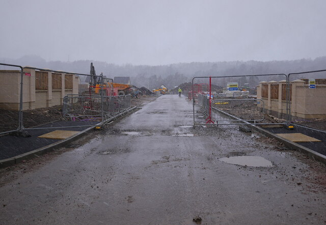
Image: © Craig Wallace Taken: 9 Feb 2022
Part of a new housing development, under construction between Dores Road and the River Ness. This street is off Peffery Avenue. A rather dreich day, with rain and snow blowing in.
Images are licensed for reuse under creativecommons.org/licenses/by-sa/2.0
Image Location
Latitude
57.456254
Longitude
-4.246233