Bridleway running down to Vane Coppice
Introduction
The photograph on this page of Bridleway running down to Vane Coppice by Richard Law as part of the Geograph project.
The Geograph project started in 2005 with the aim of publishing, organising and preserving representative images for every square kilometre of Great Britain, Ireland and the Isle of Man.

There are currently over 7.5m images from over 14,400 individuals and you can help contribute to the project by visiting https://www.geograph.org.uk
Bridleway running down to Vane Coppice
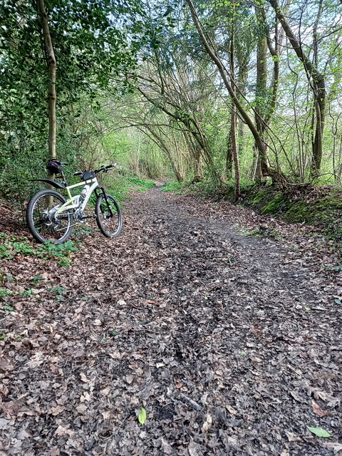
Image: © Richard Law Taken: 15 Apr 2022
Quite an entertaining descent into Coalbrookdale from the Lightmoor area, but it gets a bit muddy in the winter. Further down, there's been a lot of recent tree removal work in Vane Coppice, particularly of ashes infected with Ash Die-back disease.
Images are licensed for reuse under creativecommons.org/licenses/by-sa/2.0
Image Location
Latitude
52.646212
Longitude
-2.492276