Underbridge across Dorking and Leatherhead Railway
Introduction
The photograph on this page of Underbridge across Dorking and Leatherhead Railway by Hugh Craddock as part of the Geograph project.
The Geograph project started in 2005 with the aim of publishing, organising and preserving representative images for every square kilometre of Great Britain, Ireland and the Isle of Man.

There are currently over 7.5m images from over 14,400 individuals and you can help contribute to the project by visiting https://www.geograph.org.uk
Underbridge across Dorking and Leatherhead Railway
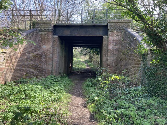
Image: © Hugh Craddock Taken: 10 Apr 2022
Footpath Mickleham 18 leads off Mickleham footpath 4 immediately passing under the former Horsham, Dorking and Leatherhead Railway towards the A24 and Mickleham village. The bridge is surprisingly capacious and perhaps once provided occupation access to the meadows along the east side of the river Mole.
Images are licensed for reuse under creativecommons.org/licenses/by-sa/2.0
Image Location
Latitude
51.259197
Longitude
-0.329649