Footpath towards Bird's Farm
Introduction
The photograph on this page of Footpath towards Bird's Farm by Simon Mortimer as part of the Geograph project.
The Geograph project started in 2005 with the aim of publishing, organising and preserving representative images for every square kilometre of Great Britain, Ireland and the Isle of Man.

There are currently over 7.5m images from over 14,400 individuals and you can help contribute to the project by visiting https://www.geograph.org.uk
Footpath towards Bird's Farm
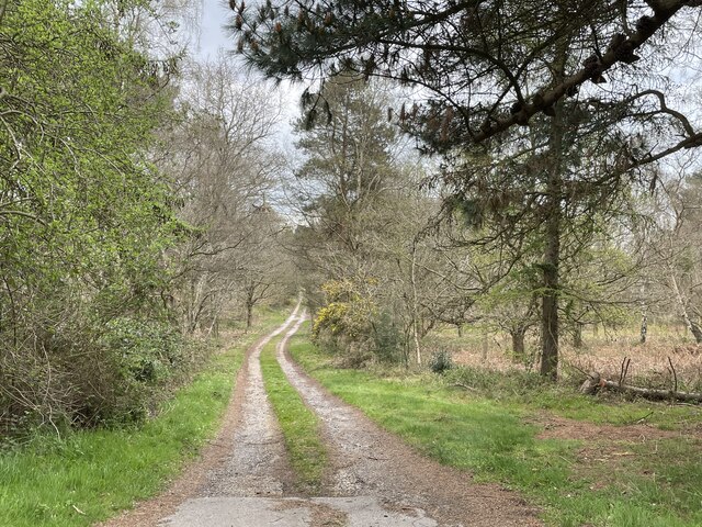
Image: © Simon Mortimer Taken: 13 Apr 2022
Looking north-east from Leiston Road. The path used to cross the heathland of North Warren, but is now largely wooded.
Images are licensed for reuse under creativecommons.org/licenses/by-sa/2.0
Image Location
Latitude
52.180348
Longitude
1.583296