Track near East Arlehaven
Introduction
The photograph on this page of Track near East Arlehaven by Richard Sutcliffe as part of the Geograph project.
The Geograph project started in 2005 with the aim of publishing, organising and preserving representative images for every square kilometre of Great Britain, Ireland and the Isle of Man.

There are currently over 7.5m images from over 14,400 individuals and you can help contribute to the project by visiting https://www.geograph.org.uk
Track near East Arlehaven
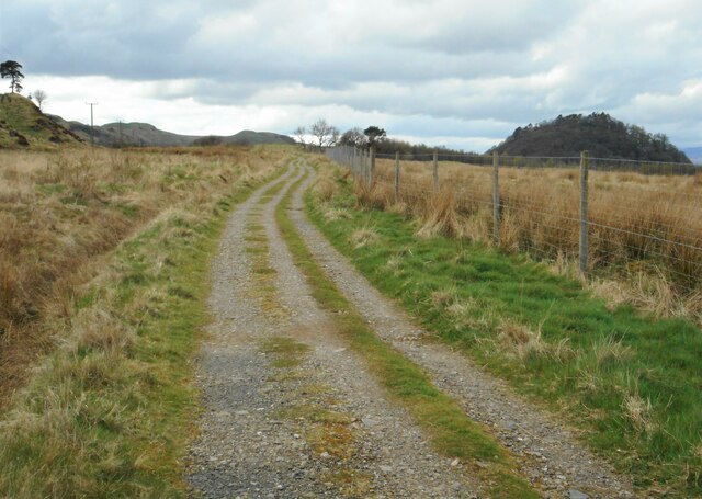
Image: © Richard Sutcliffe Taken: 16 Apr 2022
Looking west northwest. The wooded hill in the distance is Dumgoyach.
Images are licensed for reuse under creativecommons.org/licenses/by-sa/2.0
Image Location
Latitude
55.991515
Longitude
-4.345398