Knutsford Moor: picnic area and green flag
Introduction
The photograph on this page of Knutsford Moor: picnic area and green flag by Stephen Craven as part of the Geograph project.
The Geograph project started in 2005 with the aim of publishing, organising and preserving representative images for every square kilometre of Great Britain, Ireland and the Isle of Man.

There are currently over 7.5m images from over 14,400 individuals and you can help contribute to the project by visiting https://www.geograph.org.uk
Knutsford Moor: picnic area and green flag
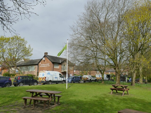
Image: © Stephen Craven Taken: 11 Apr 2022
The 'Moor' is an area of common land at the bottom of the town centre, now used as a public park.
Images are licensed for reuse under creativecommons.org/licenses/by-sa/2.0
Image Location
Latitude
53.304755
Longitude
-2.371816