Former council houses, Upper Constitution Street, Dundee
Introduction
The photograph on this page of Former council houses, Upper Constitution Street, Dundee by Bill Harrison as part of the Geograph project.
The Geograph project started in 2005 with the aim of publishing, organising and preserving representative images for every square kilometre of Great Britain, Ireland and the Isle of Man.

There are currently over 7.5m images from over 14,400 individuals and you can help contribute to the project by visiting https://www.geograph.org.uk
Former council houses, Upper Constitution Street, Dundee
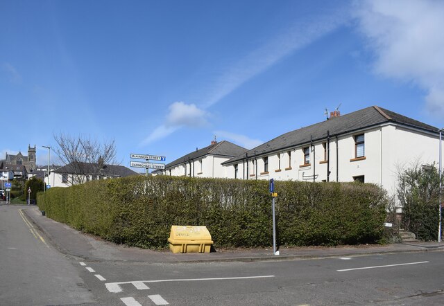
Image: © Bill Harrison Taken: 9 Apr 2022
St David's High Kirk just peeps into the picture on the left.
Images are licensed for reuse under creativecommons.org/licenses/by-sa/2.0
Image Location
Latitude
56.467975
Longitude
-2.980457