Path by Loch Faskally
Introduction
The photograph on this page of Path by Loch Faskally by Jim Barton as part of the Geograph project.
The Geograph project started in 2005 with the aim of publishing, organising and preserving representative images for every square kilometre of Great Britain, Ireland and the Isle of Man.

There are currently over 7.5m images from over 14,400 individuals and you can help contribute to the project by visiting https://www.geograph.org.uk
Path by Loch Faskally
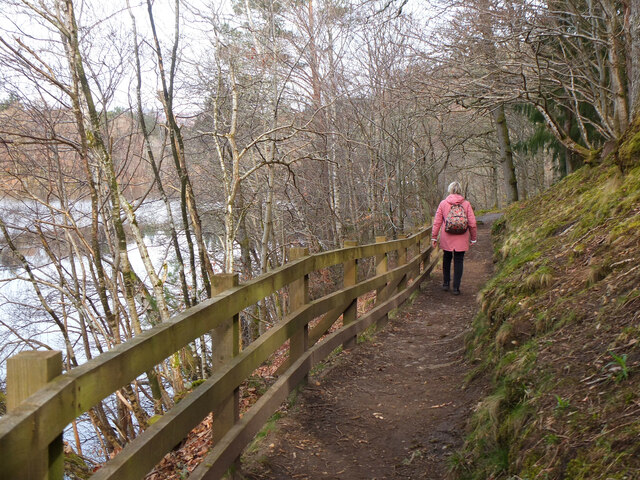
Image: © Jim Barton Taken: 10 Apr 2022
This lochside path connects with the Bealach Path to Killiecrankie. Loch Faskally was made by damming the River Tummel at Pitlochry for hydroelectric generation.
Images are licensed for reuse under creativecommons.org/licenses/by-sa/2.0
Image Location


Leaflet Map data © OpenStreetMap
Latitude
56.703956
Longitude
-3.747071