Farmland near Pembridge Castle
Introduction
The photograph on this page of Farmland near Pembridge Castle by Pauline E as part of the Geograph project.
The Geograph project started in 2005 with the aim of publishing, organising and preserving representative images for every square kilometre of Great Britain, Ireland and the Isle of Man.

There are currently over 7.5m images from over 14,400 individuals and you can help contribute to the project by visiting https://www.geograph.org.uk
Farmland near Pembridge Castle
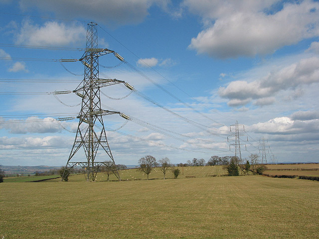
Image: © Pauline E Taken: 4 Mar 2008
The power lines dominating the landscape cut through a bordering square, SO4919.
Images are licensed for reuse under creativecommons.org/licenses/by-sa/2.0
Image Location
Latitude
51.866962
Longitude
-2.742378