Portway Bridge, open to the sky
Introduction
The photograph on this page of Portway Bridge, open to the sky by Neil Owen as part of the Geograph project.
The Geograph project started in 2005 with the aim of publishing, organising and preserving representative images for every square kilometre of Great Britain, Ireland and the Isle of Man.

There are currently over 7.5m images from over 14,400 individuals and you can help contribute to the project by visiting https://www.geograph.org.uk
Portway Bridge, open to the sky
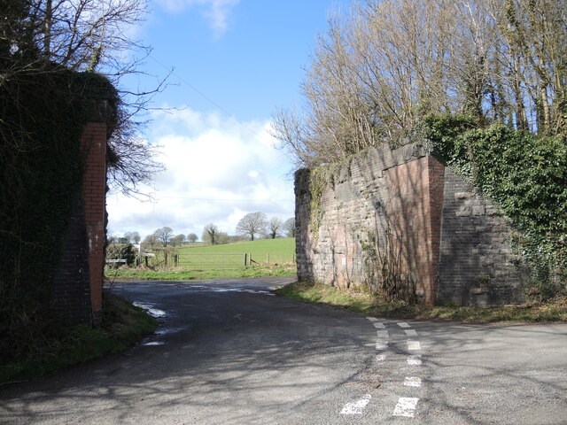
Image: © Neil Owen Taken: 17 Mar 2022
The old Somerset and Dorset Joint Railway used to span it, but the tracks were ripped up after the line closed in 1965. See Image] for a benchmark on the corner.
Images are licensed for reuse under creativecommons.org/licenses/by-sa/2.0
Image Location
Latitude
51.249878
Longitude
-2.545127