Green Farm, Holdfast
Introduction
The photograph on this page of Green Farm, Holdfast by Philip Halling as part of the Geograph project.
The Geograph project started in 2005 with the aim of publishing, organising and preserving representative images for every square kilometre of Great Britain, Ireland and the Isle of Man.

There are currently over 7.5m images from over 14,400 individuals and you can help contribute to the project by visiting https://www.geograph.org.uk
Green Farm, Holdfast
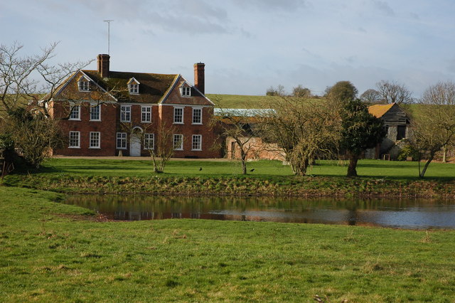
Image: © Philip Halling Taken: 2 Mar 2008
The farmhouse of Green Farm is an impressive early 18th century red brick house. The Queen Anne-style house is Grade II listed, see: https://historicengland.org.uk/listing/the-list/list-entry/1239104
Images are licensed for reuse under creativecommons.org/licenses/by-sa/2.0
Image Location
Latitude
52.034454
Longitude
-2.212199