Corner of Roselea Drive
Introduction
The photograph on this page of Corner of Roselea Drive by Richard Sutcliffe as part of the Geograph project.
The Geograph project started in 2005 with the aim of publishing, organising and preserving representative images for every square kilometre of Great Britain, Ireland and the Isle of Man.

There are currently over 7.5m images from over 14,400 individuals and you can help contribute to the project by visiting https://www.geograph.org.uk
Corner of Roselea Drive
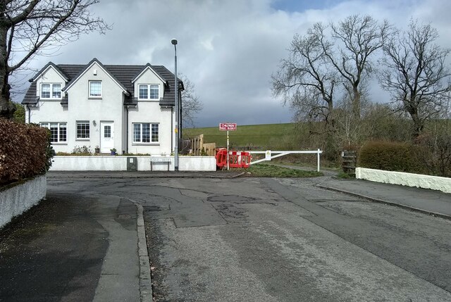
Image: © Richard Sutcliffe Taken: 13 Apr 2022
A footpath leads past the barrier to ground immediately beside Craigmaddie Reservoir.
Images are licensed for reuse under creativecommons.org/licenses/by-sa/2.0
Image Location


Leaflet Map data © OpenStreetMap
Latitude
55.947234
Longitude
-4.305881