Rochdale Canal, Castleton
Introduction
The photograph on this page of Rochdale Canal, Castleton by Alan Murray-Rust as part of the Geograph project.
The Geograph project started in 2005 with the aim of publishing, organising and preserving representative images for every square kilometre of Great Britain, Ireland and the Isle of Man.

There are currently over 7.5m images from over 14,400 individuals and you can help contribute to the project by visiting https://www.geograph.org.uk
Rochdale Canal, Castleton
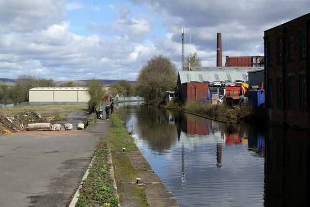
Image: © Alan Murray-Rust Taken: 8 Apr 2022
Just above Lock 51, looking north. Much the same viewpoint as https://www.geograph.org.uk/photo/1817745; the buildings on the left of that view were demolished around 2015.
Images are licensed for reuse under creativecommons.org/licenses/by-sa/2.0
Image Location
Latitude
53.592566
Longitude
-2.176877