Bend where Gorse Lane breaks away from the line of the Roman road
Introduction
The photograph on this page of Bend where Gorse Lane breaks away from the line of the Roman road by Tim Heaton as part of the Geograph project.
The Geograph project started in 2005 with the aim of publishing, organising and preserving representative images for every square kilometre of Great Britain, Ireland and the Isle of Man.

There are currently over 7.5m images from over 14,400 individuals and you can help contribute to the project by visiting https://www.geograph.org.uk
Bend where Gorse Lane breaks away from the line of the Roman road
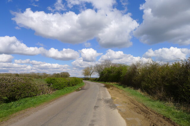
Image: © Tim Heaton Taken: 8 Apr 2022
For most of its length from its junction with the A607 near Croxgton Kerial (behind), Gorse Lane follows the line of a Roman road, the Salt Way. Margary provides evidence that the line of the Roman road continued straight ahead at the bend, running into the field beyond the hedge on the right, from where it continued on a straight course to Saltersford on the River Witham https://archive.org/details/in.gov.ignca.6845.
Images are licensed for reuse under creativecommons.org/licenses/by-sa/2.0
Image Location
Latitude
52.874542
Longitude
-0.673016