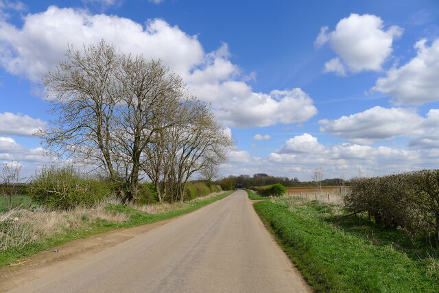
Gorse Lane east of Croxton Kerrial
Introduction
The photograph on this page of Gorse Lane east of Croxton Kerrial by Tim Heaton as part of the Geograph project.
The Geograph project started in 2005 with the aim of publishing, organising and preserving representative images for every square kilometre of Great Britain, Ireland and the Isle of Man.
There are currently over 7.5m images from over 14,400 individuals and you can help contribute to the project by visiting https://www.geograph.org.uk

Image: © Tim Heaton Taken: 8 Apr 2022
Part of the Salt Way, and a former Roman road along the top of the Lincolnshire Limestone ridge south of Grantham. The name 'Gorse Lane' seems to be applied by local residents and businesses to the whole stretch of this road, from its junctions with the A607 in the west to the B1174 in the east. On OS and Google maps the name only appears on the eastern-most section of the road.

