Toll House, Stroud
Introduction
The photograph on this page of Toll House, Stroud by Mr Red as part of the Geograph project.
The Geograph project started in 2005 with the aim of publishing, organising and preserving representative images for every square kilometre of Great Britain, Ireland and the Isle of Man.

There are currently over 7.5m images from over 14,400 individuals and you can help contribute to the project by visiting https://www.geograph.org.uk
Toll House, Stroud
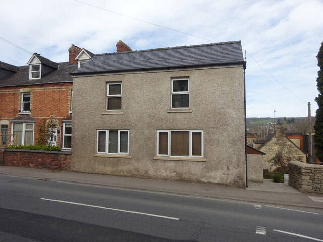
Image: © Mr Red Taken: 11 Apr 2022
On the Bath Road opposite the Clothiers Arms. Served the Lightpill and Birdlip Turnpike Trust. Former Toll Houses often include a name like Pike or Toll/Tollgate. However the house does not bear a name plate, and a Gloucestershire County Council map merely notes a number. Served the Nailsworth, Woodchester and Dudbridge Turnpike Trust. Milestone Society National ID: GL.STR02
Images are licensed for reuse under creativecommons.org/licenses/by-sa/2.0
Image Location


Leaflet Map data © OpenStreetMap
Latitude
51.742934
Longitude
-2.226732