Hiraeth hut, Llanbrynmair
Introduction
The photograph on this page of Hiraeth hut, Llanbrynmair by Mike Parker as part of the Geograph project.
The Geograph project started in 2005 with the aim of publishing, organising and preserving representative images for every square kilometre of Great Britain, Ireland and the Isle of Man.

There are currently over 7.5m images from over 14,400 individuals and you can help contribute to the project by visiting https://www.geograph.org.uk
Hiraeth hut, Llanbrynmair
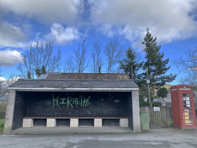
Image: © Mike Parker Taken: 8 Apr 2022
Hiraeth being the untranslatable Welsh word for a kind of longing that's often tied to place, and the sense of that which can never be found again.
Images are licensed for reuse under creativecommons.org/licenses/by-sa/2.0
Image Location
Latitude
52.612129
Longitude
-3.628228