Stone Stile, Frampton Mansell
Introduction
The photograph on this page of Stone Stile, Frampton Mansell by Mr Red as part of the Geograph project.
The Geograph project started in 2005 with the aim of publishing, organising and preserving representative images for every square kilometre of Great Britain, Ireland and the Isle of Man.

There are currently over 7.5m images from over 14,400 individuals and you can help contribute to the project by visiting https://www.geograph.org.uk
Stone Stile, Frampton Mansell
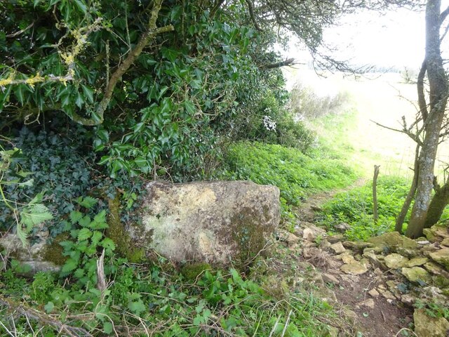
Image: © Mr Red Taken: 10 Apr 2022
Between the Oxstalls Farm on the A419 and Emmerson Lane. This stile is not on an a registered footpath, but very close to Gloucestershire footpath BSA31. Older maps do refer to "ponds" in the corners of four fields so this stile may have afforded access to another side of the "pond". The "ponds" are dry now. This view with ivy removed is looking South, an earlier view looking North is Image
Images are licensed for reuse under creativecommons.org/licenses/by-sa/2.0
Image Location
Latitude
51.711592
Longitude
-2.105361