Pink bales
Introduction
The photograph on this page of Pink bales by Scott Cormie as part of the Geograph project.
The Geograph project started in 2005 with the aim of publishing, organising and preserving representative images for every square kilometre of Great Britain, Ireland and the Isle of Man.

There are currently over 7.5m images from over 14,400 individuals and you can help contribute to the project by visiting https://www.geograph.org.uk
Pink bales
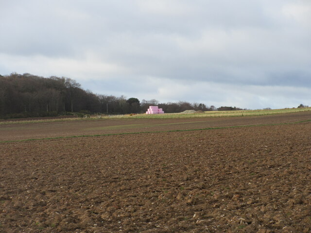
Image: © Scott Cormie Taken: 4 Apr 2022
A distant view of pink-wrapped bales to the north of Muirton on the lower southern slope of Paul Matthew Hill.
Images are licensed for reuse under creativecommons.org/licenses/by-sa/2.0
Image Location
Latitude
56.81386
Longitude
-2.366059