Davenham Avenue, Eastbury
Introduction
The photograph on this page of Davenham Avenue, Eastbury by Stephen McKay as part of the Geograph project.
The Geograph project started in 2005 with the aim of publishing, organising and preserving representative images for every square kilometre of Great Britain, Ireland and the Isle of Man.

There are currently over 7.5m images from over 14,400 individuals and you can help contribute to the project by visiting https://www.geograph.org.uk
Davenham Avenue, Eastbury
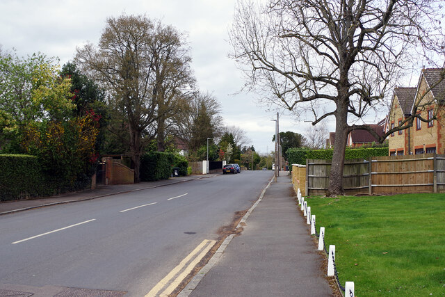
Image: © Stephen McKay Taken: 5 Apr 2022
This is the southern end of Davenham Avenue from its junction with Eastbury Avenue. The road runs through to Batchworth Lane. The land was once part of the Eastbury Estate, at the heart of which was the mansion house, whose site was to become RAF Northwood.
Images are licensed for reuse under creativecommons.org/licenses/by-sa/2.0
Image Location
Latitude
51.617866
Longitude
-0.417772