Sandilands and Viking Link cable route: aerial 2022
Introduction
The photograph on this page of Sandilands and Viking Link cable route: aerial 2022 by Simon Tomson as part of the Geograph project.
The Geograph project started in 2005 with the aim of publishing, organising and preserving representative images for every square kilometre of Great Britain, Ireland and the Isle of Man.

There are currently over 7.5m images from over 14,400 individuals and you can help contribute to the project by visiting https://www.geograph.org.uk
Sandilands and Viking Link cable route: aerial 2022
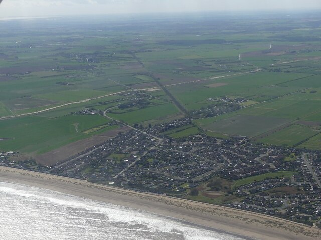
Image: © Simon Tomson Taken: 8 Apr 2022
Looking towards Boy Grift Drain and the Viking Link cable route. Viking Link is a 1,400 MW HVDC submarine power cable under construction between the United Kingdom and Denmark. See: https://en.wikipedia.org/wiki/Viking_Link It comes onshore south of Sandilands (alongside Boy Grift Drain) and is to finish at Bicker Fen substation. See also Image] and Image
Images are licensed for reuse under creativecommons.org/licenses/by-sa/2.0
Image Location
Latitude
53.301644
Longitude
0.288862